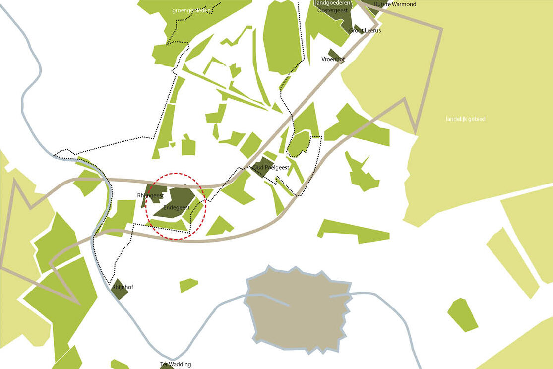
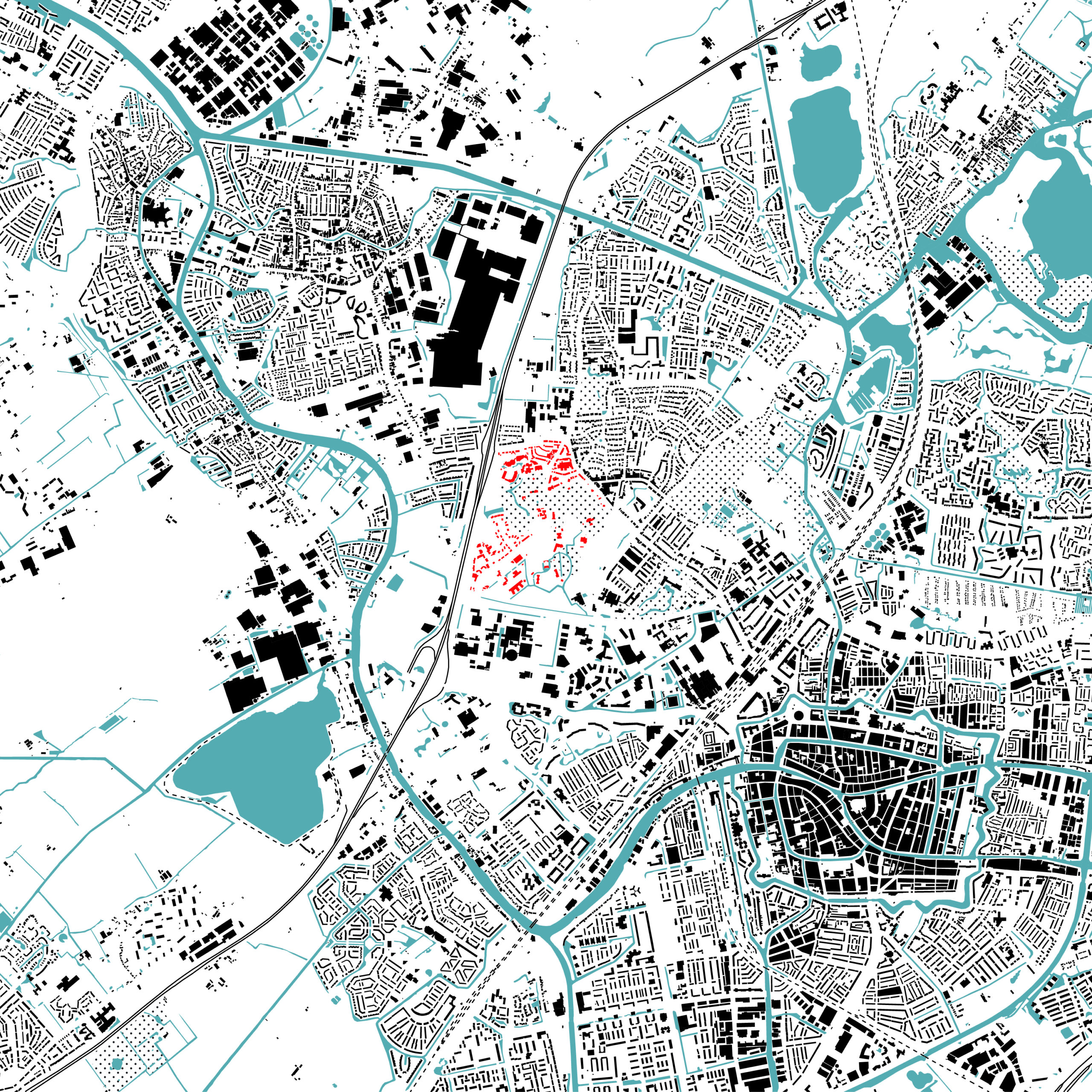
Oegstgeest is located in a dynamic and growing region. With over 400,000 residents, it is the fourth-largest agglomeration in the Netherlands. The different cores are merging. Margins are shrinking, and urbanization is increasing. Castle Endegeest is situated in the heart of this region and, although relatively secluded, it is not immune to the pressure. Additionally, the planned area is directly adjacent to the Leiden Bio Science Park, a rapidly growing innovation district.
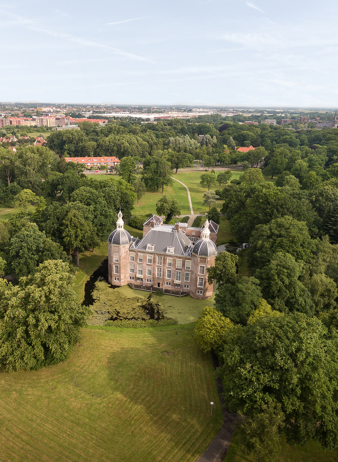
The origins of the castle date back to the Middle Ages, and the later estate has its roots in the 17th century. Its name is derived from the term “geestgronden,” the fertile grounds found on the coastal ridges in the Dutch coastal area. Villages and castles were built here; the name of the village Oegstgeest and Castle Oud-Poelgeest were derived from these grounds. Castle Endegeest, located at the tip of the continuous coastal ridge zone overlooking the basin of the Old Rhine, was thus named Eynde Geest or Ende Geest, later Endegeest.
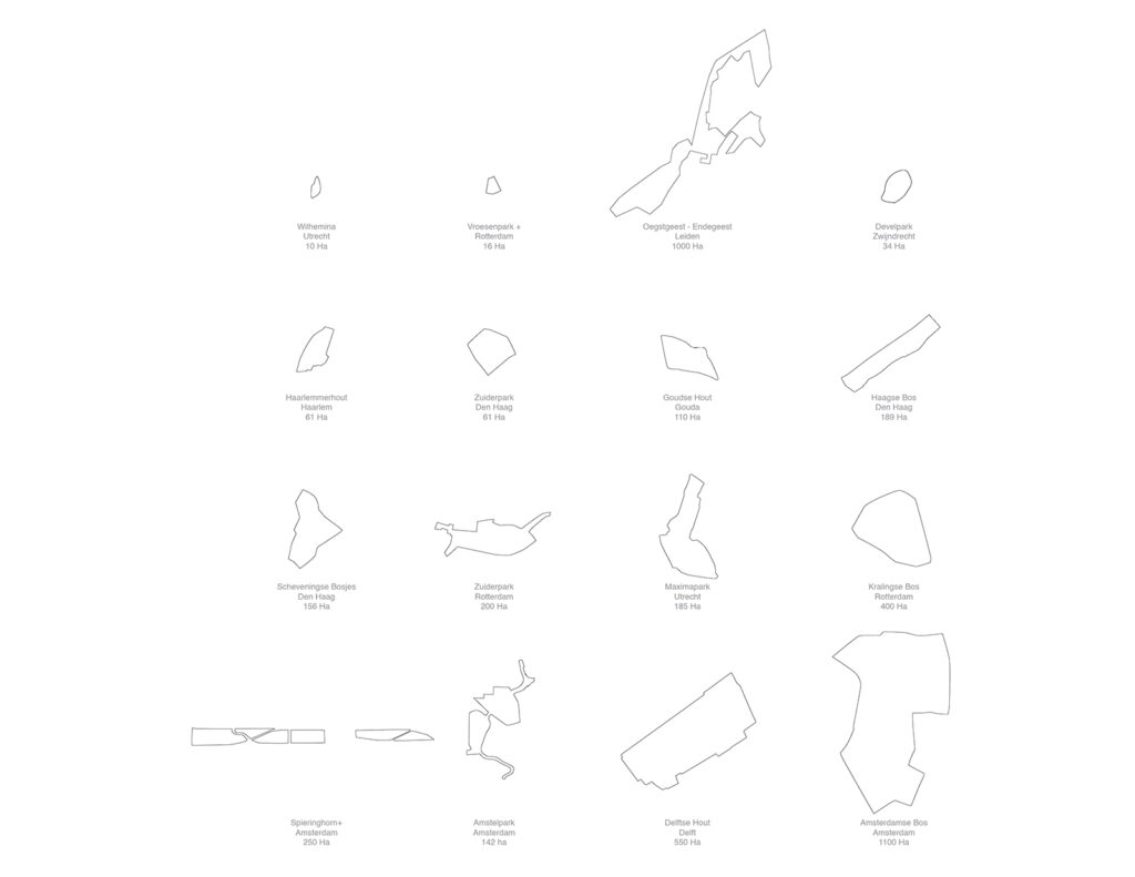
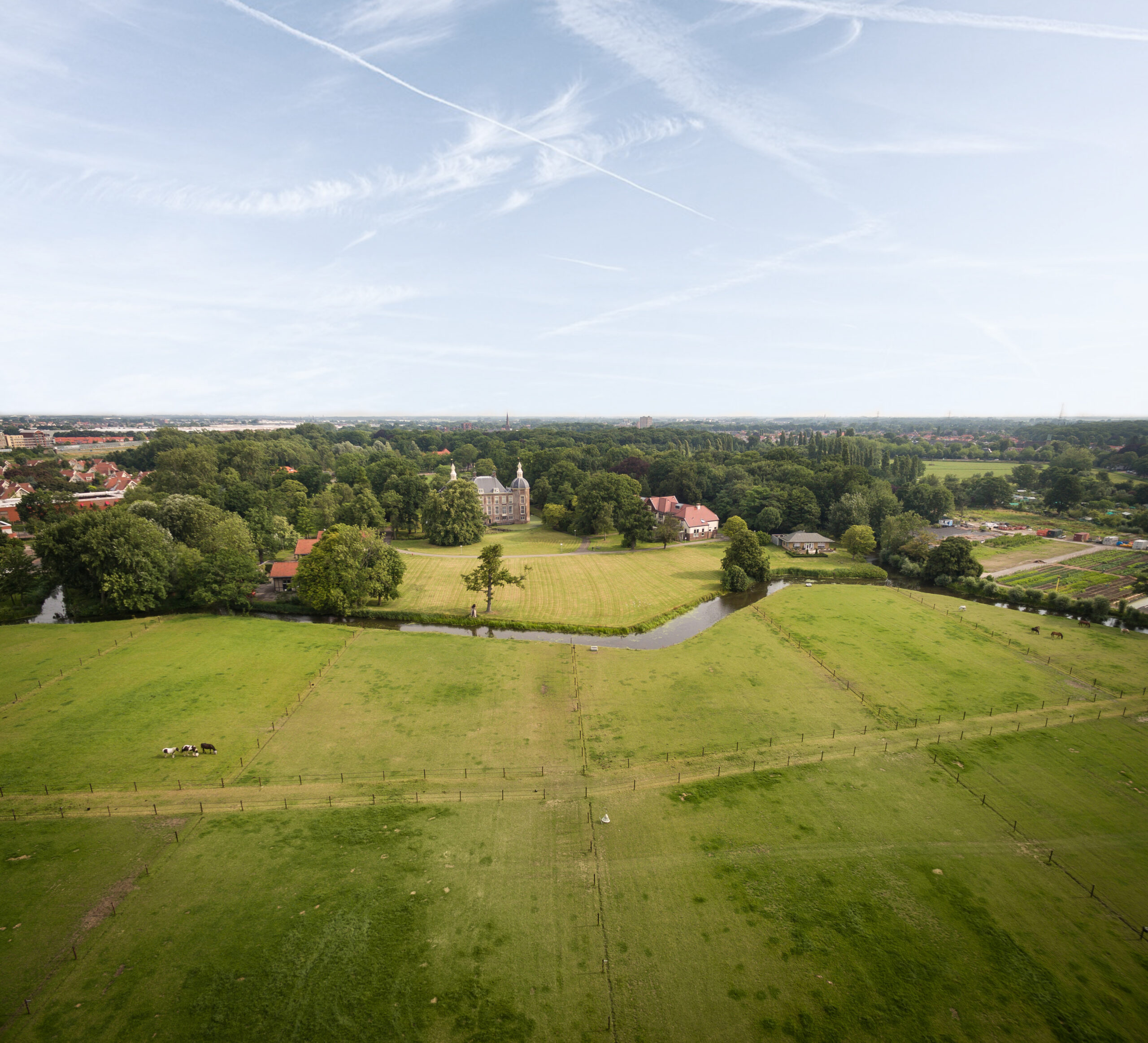
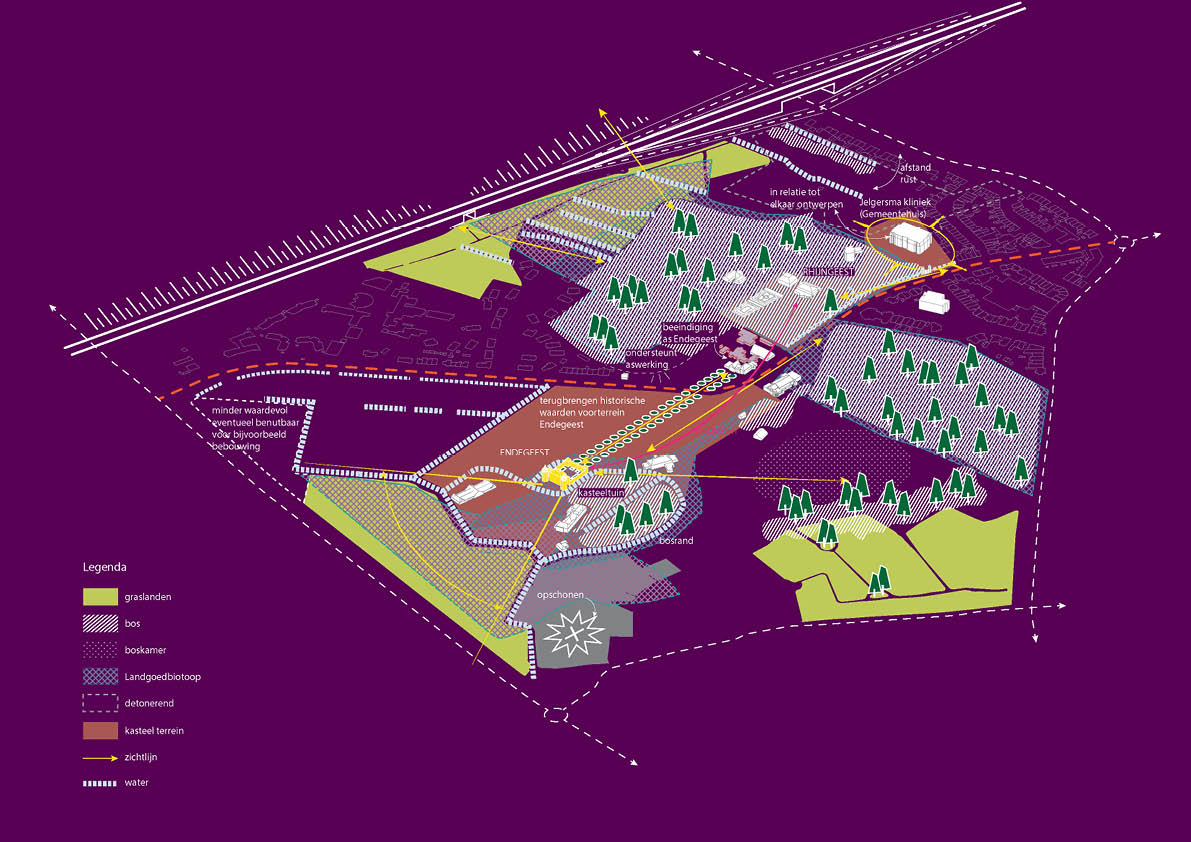
The value of the environment lies in the interplay between buildings, public spaces, and greenery. The entirety of the castle, pavilions, Wilhelminapark villa park, and ribbon development with villas exudes the charm typical of estates. A core value here in the woods has always been and still is: tranquility. This is also why various psychiatric institutions established themselves here. The former Jelgersma clinic is located on the Rhijngeest estate, and GGZ Rivierduinen and Stichting’45 are situated on Overgeest. Endegeest estate has been used as a psychiatric clinic for decades.
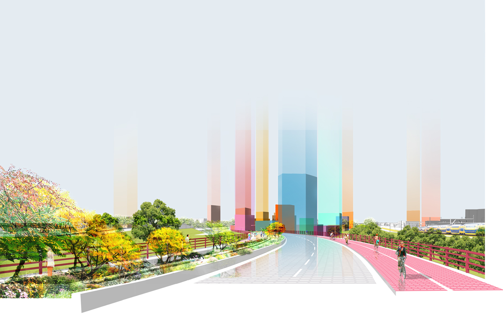
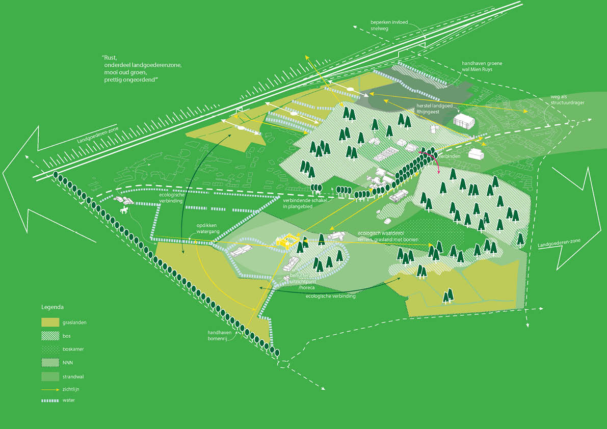
Buildings and grounds now stand empty, waiting for repurposing. The area will change, as it has always evolved throughout its ancient existence. The Vision of the Future outlines the starting points for new developments. An organization into five layers provides guidance: ecology and landscape (the foundation, soil), cultural heritage (the narrative layer), mobility (the connections), sustainability (the future), program (the usage).
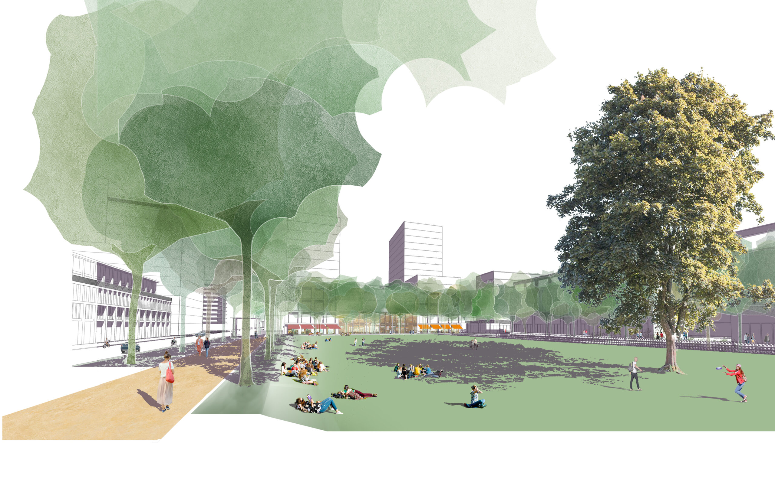
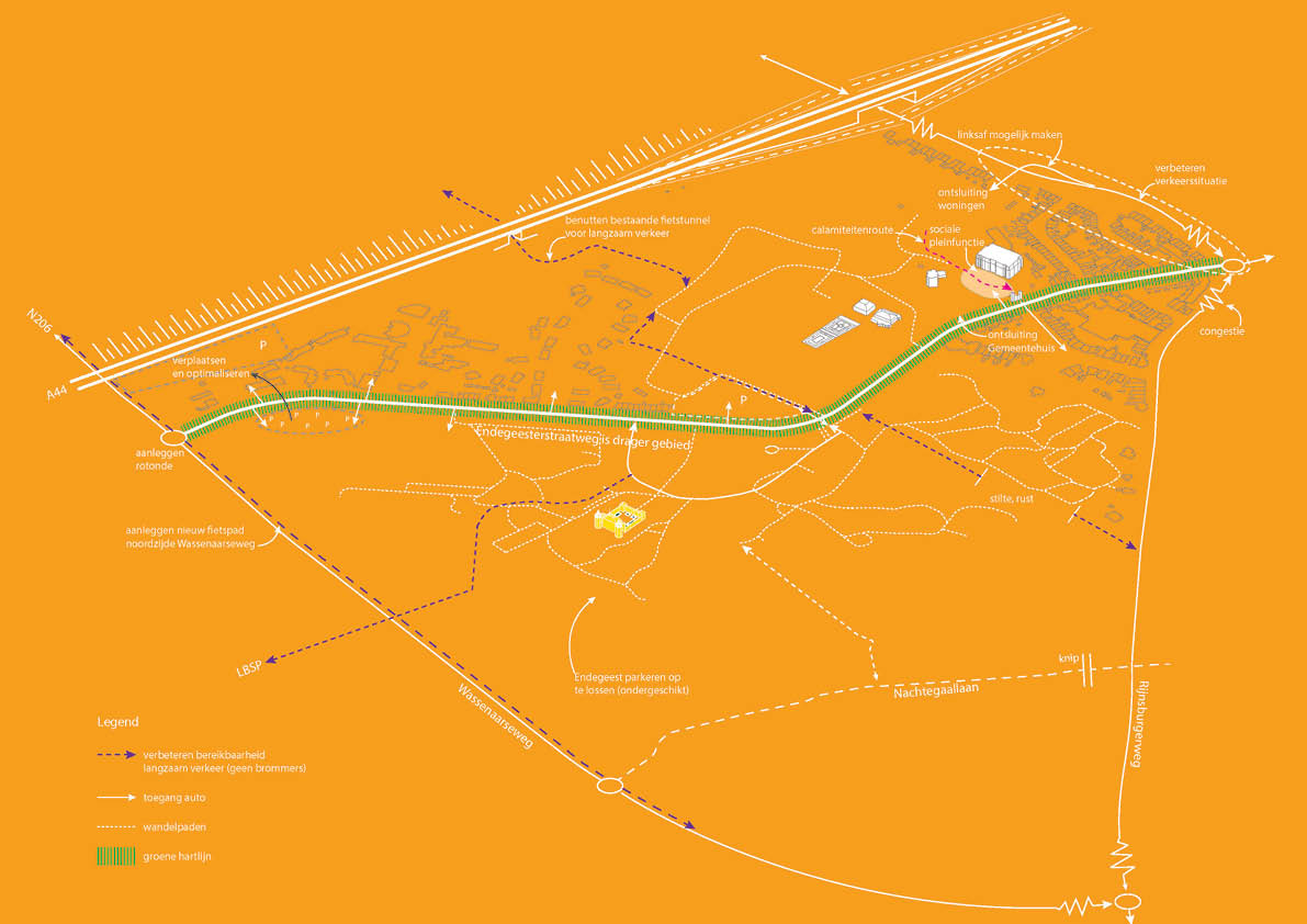
The bottom layer, the soil, has traditionally been the determining factor for the developments taking place. It determines the crops that grow there, the paths of roads and waterways, whether an area is wet or dry. Indirectly, it also determines the cultural status of residential areas. The bottom layer is unchangeable. The layer above it, cultural heritage, tells the story of the place over a long period. The narrative layer is constantly rewritten. It influences the underlying landscape layer, such as the castle garden with monumental exotic trees. But like a sieve, the valuable elements remain intact; slowness prevails. The mobility layer has greater dynamism and also a significant impact on the underlying structures. For example, the A44 motorway ruthlessly divides the landscape in two. At the same time, various roads have retained their historical routes. The upcoming transition period will clarify the extent to which mobility can have a more restrained spatial impact. It will be made to serve a light form of densification in which a combination of living and care will rediscover the area. Buildings will not claim space for themselves but will be co-creators of the park-like environment. The layout of the grounds and the placement of trees, as well as the integration of paths and connections, form the next links in an age-old chain.