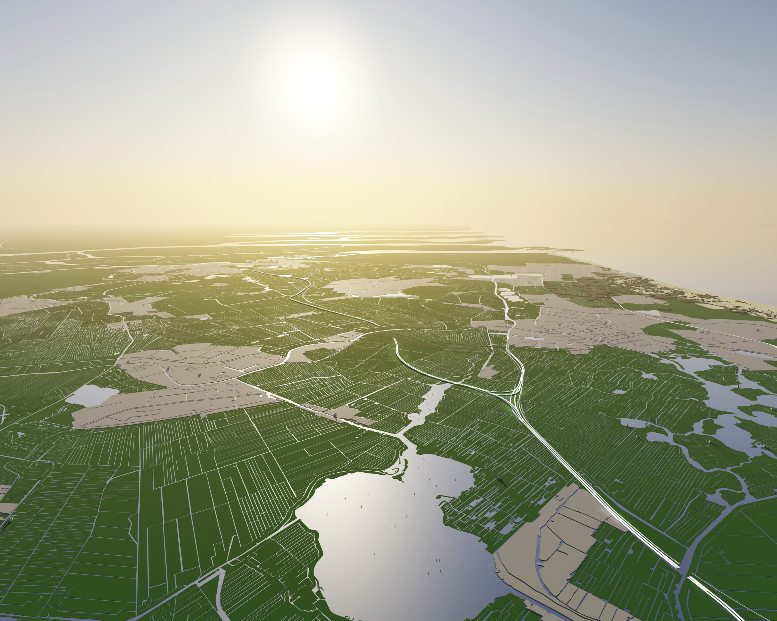
The Green Heart Route is a new direct connection between Rotterdam and Amsterdam. The highway can be built on legs and thus meander through the unique landscape with a view of dozens of mills and church towers. Thirty kilometres of space before Amsterdam is reached, that is landscape conservation new style.
Because this highway is built without exits, it provides a significant gain in terms of travel time. As a result, the highway will contribute to solving a primary problem in the Netherlands, namely accessibility. After all, good infrastructure is a basic condition for a country’s logistics. The route, together with the extension of the A4 South, complements the logical map of the Dutch network of motorways.
In addition, the road contributes to awareness about, and the preservation and use of, the landscape of the Green Heart.
By building the highway on legs in a flat line at sea level exactly, the layering of the typical Dutch peat meadow landscape becomes easy to read. An alternation of deep polders (from minus 1.4 to minus 5.5 meters) unfolds under the highway. Only at the site of the rivers Oude Rijn and the Rotte does the Green Heart Route dive into a tunnel. These are the only places in the route where the landscape rises above sea level.
The construction of the new Green Heart Route breaks the continuing political deadlock in the field of spatial planning. For years, this has been the location where interests of different interest groups meet and fight. The Green Heart Route could prove that the Dutch planning capabilities are not only proverbial, but can still deliver beautiful pieces of landscape.